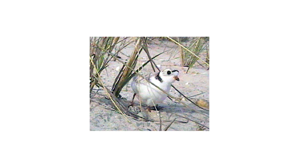
Long Island’s shorelines provide ideal habitat for many diverse coastal wildlife. It is important for…
Digital Mapping & Imaging
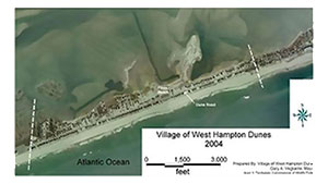
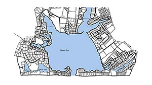 First Coastal produces digital documents for all levels of detailed analysis with our staff of American Institute of Certified Planners (AICP), Coastal Geologists, and Technicians.
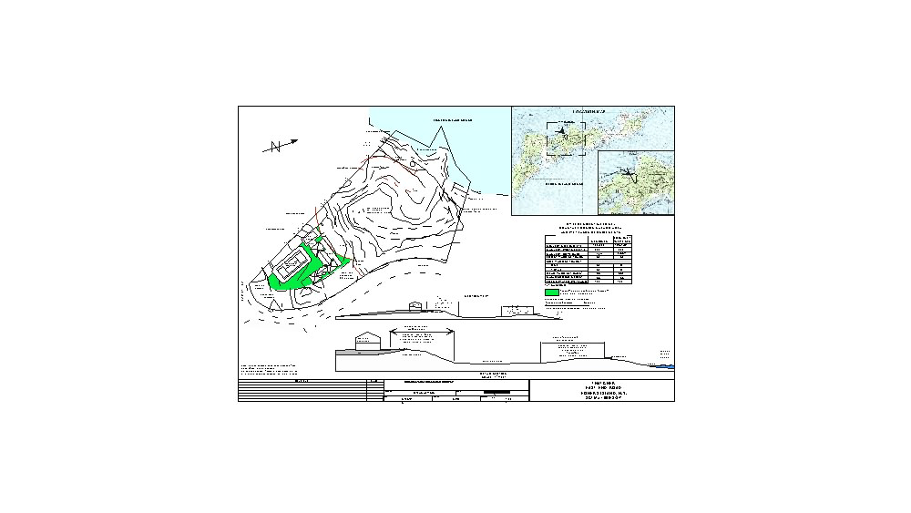
Our digital capabilities include state of the art Windows and Macintosh workstation platforms with high resolution monitors, scanners, cameras, printers, large scale plotters, optical character recognition readers. This technology allows in house production of research documents and presentation material with minimal lead time and cost to the project.
Related Posts